Knowledge base
How storms, signals and forecasts actually work.
- Eyewall replacement: why a typhoon suddenly growsThe peak wind dips a little, and the area affected gets wider.2 min read
- Hong Kong's typhoon signals, explainedWhat each of the five levels means in wind speed, and why the No. 8 comes in four directions.2 min read
- Why a storm to the south brings easterly windsCyclones spin anticlockwise north of the equator, so the wind where you stand depends on which side of the storm you are on.3 min read
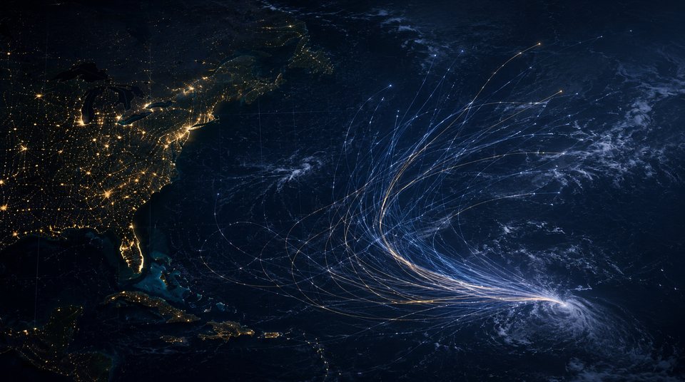
- What an ensemble forecast is, and what it is notA spray of tracks is a statement about uncertainty, not a menu of outcomes.2 min read
- How to read a METARThe line of apparent gibberish airports publish, taken apart piece by piece.2 min read
- Knots, km/h and the Beaufort scaleTwo agencies can quote the same storm 20 per cent apart. They are not disagreeing; they are measuring different things.3 min read
- Storm surge: why low-lying areas flood before the wind peaksThe flooding is not rain. It is sea water pushed ashore — and its worst moment is not the windiest one.2 min read
- How the No. 8 signal chance is computedForty perturbed tracks, and a count of how many bring gale-force wind to Hong Kong's offshore stations.4 min read
- Wind radii: how big a typhoon really isThe gale radius on a storm page is the agency's figure; its threshold sits below a No. 8, and the circle is not really a circle.3 min read
- Where the rain nowcast comes fromThe four half-hour cells on the Today page are the Observatory's radar-based gridded rainfall, and why there is no minute-by-minute bar.3 min read