

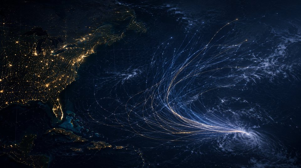
What an ensemble forecast is, and what it is not
A spray of tracks is a statement about uncertainty, not a menu of outcomes.
The atmosphere is chaotic: a tiny difference at the start becomes a large one days later. So the model is not run once — the starting conditions are perturbed dozens of times and each is run through.
The perturbations are not arbitrary. They represent the error bars on the observations themselves: over open ocean, with no stations, pressure and wind are only ever known within a range. The spread measures how wide that range becomes once it is carried forward in time.
The usual mistake is to pick one member — normally the closest to home, or the most alarming — and treat it as the forecast. No single member is a forecast.
A wide spread and a narrow one
A wide spread does not make the forecast useless; it means the honest answer today is a range. A narrow spread is no guarantee either: every member can be wrong together, especially when they share the same observations and the same model's biases.
The practical question is whether the spread would change what you do. If every member points to the same decision, its width does not matter. If members point to different decisions, the answer is to wait for the next run — not to choose a member yourself.
“Signal No. 8 probability 60%” means 60% of members bring sustained winds near sea level up to gale force. It is not a claim that something bad happens six times in ten, and it is not a prediction of what the Observatory will do.
This site's ensemble runs 40 members to 72 hours. It is our own computation, appears only inside the map, and has not been independently verified. Replays of past storms converge quickly only because the steering flow was inverted from the best track after the fact — the answer was already known. Low track error is not forecast skill.
Further reading
- How to read a METAR
The line of apparent gibberish airports publish, taken apart piece by piece.
- Knots, km/h and the Beaufort scale
Two agencies can quote the same storm 20 per cent apart. They are not disagreeing; they are measuring different things.
- Storm surge: why low-lying areas flood before the wind peaks
The flooding is not rain. It is sea water pushed ashore — and its worst moment is not the windiest one.
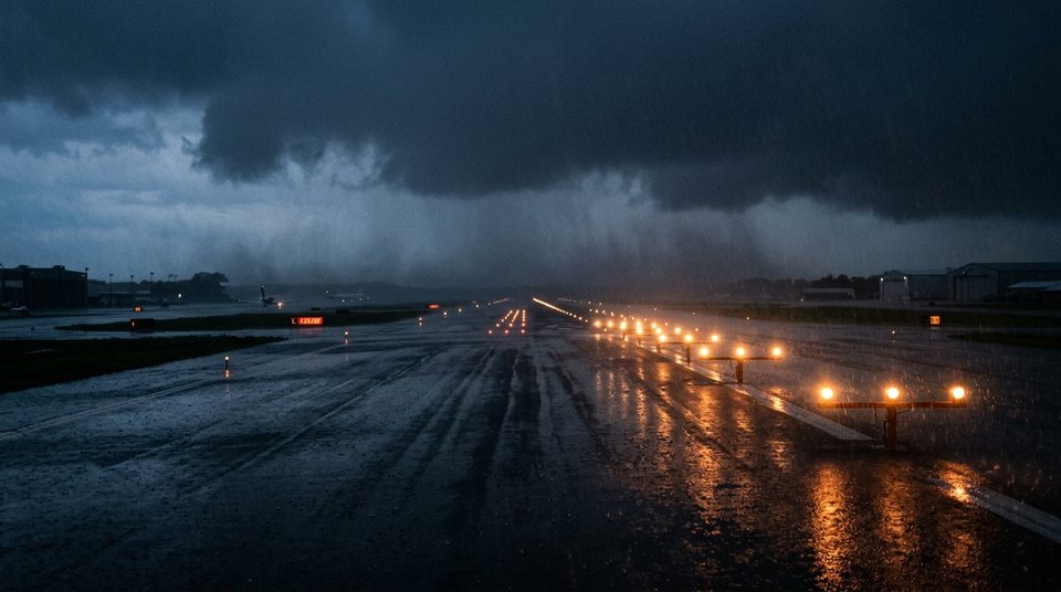 How to read a METAR
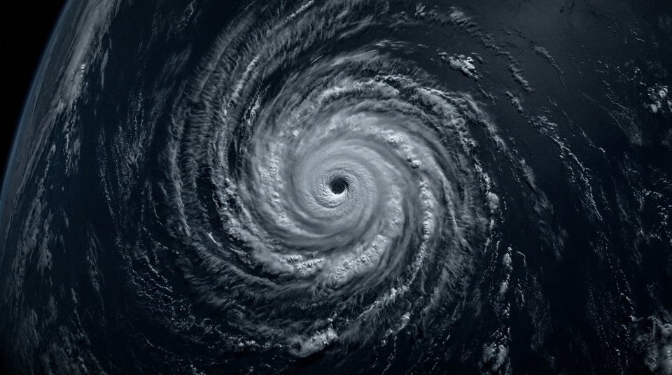 Knots, km/h and the Beaufort scale
 Storm surge: why low-lying areas flood before the wind peaks