

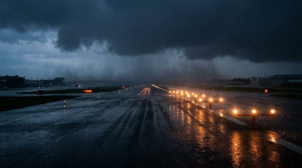
How to read a METAR
The line of apparent gibberish airports publish, taken apart piece by piece.
A METAR is an airport's observed weather. Nothing in it is interpreted or smoothed, which is why, to anyone who can read it, it beats any weather app.
It is issued every half hour, with an unscheduled SPECI whenever conditions change sharply. The format is the same worldwide, so the same group means the same thing at any airport.
METAR VHHH 010500Z 18004KT 120V280 9999 FEW015 SCT045 28/25 Q1006 NOSIGExample report · look up real VHHH reportsFEW015 is a few clouds at 1,500 ft; BKN is broken and OVC overcast. 28/25 is temperature and dew point — the closer they are, the more humid. NOSIG means no significant change in the next two hours.
010500Z is the time of issue: the 1st of the month at 05:00 UTC, which is 1 pm in Hong Kong. Every METAR is in UTC, so convert before reading it. Q1006 is the sea-level pressure setting, in hectopascals.
120V280 is a variable wind direction: it swung between 120 and 280 degrees. The group is common on a storm's edge, and it is evidence in its own right — often more telling than the mean direction beside it.
What matters during a storm
- The gust. Go-arounds and delays are driven by gusts, not the mean wind.
- Crosswind. The angle between wind and runway sets it, and every aircraft type has a limit. All of Hong Kong International's runways run east–west (07/25).
- Visibility and cloud base. Below the airport's minima, an aircraft cannot land.
Whether a flight operates is the airline's and the crew's decision, and depends on aircraft type, runway condition, weight and fuel reserves. A METAR cannot answer that, and this site will not answer it on their behalf.
Further reading
- Knots, km/h and the Beaufort scale
Two agencies can quote the same storm 20 per cent apart. They are not disagreeing; they are measuring different things.
- Storm surge: why low-lying areas flood before the wind peaks
The flooding is not rain. It is sea water pushed ashore — and its worst moment is not the windiest one.
- How the No. 8 signal chance is computed
Forty perturbed tracks, and a count of how many bring gale-force wind to Hong Kong's offshore stations.
 Knots, km/h and the Beaufort scale
 Storm surge: why low-lying areas flood before the wind peaks
 How the No. 8 signal chance is computed