

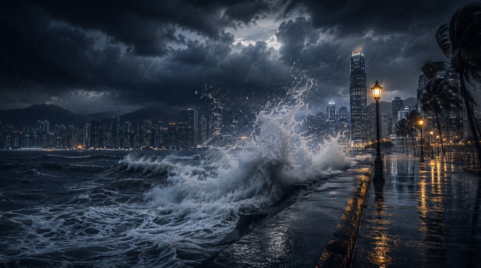
Storm surge: why low-lying areas flood before the wind peaks
The flooding is not rain. It is sea water pushed ashore — and its worst moment is not the windiest one.
Whether an area floods has little to do with rainfall. The flooding Hato (2017) and Mangkhut (2018) caused in Hong Kong was driven by surge.
Three quantities go into a water-level forecast. The astronomical tide is the part driven by moon and sun, predictable years ahead. The surge is what the storm adds on top. Their sum is the actual level — the number that decides whether a sea wall holds.
Timing matters more than strength
A surge rides on top of the normal tide. The same storm can pass harmlessly at low water and overtop sea walls at a spring high tide — a difference of one to two metres.
The coast's shape matters too. The narrower and shallower a bay, the less room the water has to escape — which is why the same storm raises the water far higher around Tolo Harbour and Tai Po than on the open coast.
The track decides which coast takes it. A cyclone in the northern hemisphere turns anticlockwise, so onshore wind falls on one side of its path. When a storm passes to Hong Kong's west, that onshore flow lasts longest and the water rises highest.
This is why the worst flooding is not the windiest moment. Wind peaks as the centre passes, but the water peaks according to how long it has been pushed ashore and where the tide stands. The two can be hours apart.
This site does not model storm surge. The wind field and signal probabilities are about wind, not water level. For flood risk, rely on the Hong Kong Observatory's surge and tide forecasts and on official warnings.
Further reading
- How the No. 8 signal chance is computed
Forty perturbed tracks, and a count of how many bring gale-force wind to Hong Kong's offshore stations.
- Wind radii: how big a typhoon really is
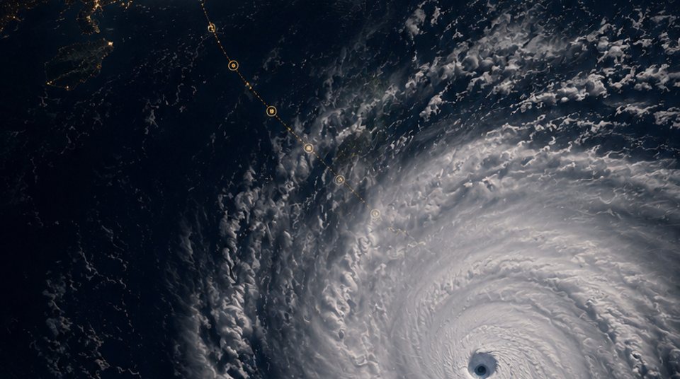
The gale radius on a storm page is the agency's figure; its threshold sits below a No. 8, and the circle is not really a circle.
- Where the rain nowcast comes from
The four half-hour cells on the Today page are the Observatory's radar-based gridded rainfall, and why there is no minute-by-minute bar.
 How the No. 8 signal chance is computed
 Wind radii: how big a typhoon really is
 Where the rain nowcast comes from