


Eyewall replacement: why a typhoon suddenly grows
The peak wind dips a little, and the area affected gets wider.
In a mature typhoon the fiercest wind and rain sit in the eyewall, the ring of deep cloud around the eye. That ring is not stable. Once the storm is strong enough, one of the outer rainbands can organise itself into a second eyewall, usually two to three times the radius of the first.
 ① Milton, 7 Oct 2024 · infrared · before
 ② Nida, 28 Nov 2009 · 89 GHz microwave · during
 ③ Milton, 8 Oct 2024 · infrared · after
Once the outer eyewall has formed it intercepts the warm, moist air that was feeding the centre. The inner eyewall, cut off, slowly collapses: the wind at the core eases, the pressure rises, and the storm looks as if it is weakening. This phase usually lasts twelve to thirty-six hours.
The outer eyewall then contracts into the place of the old one. The storm may strengthen again, and the replacement is complete.
For Hong Kong the number that matters is not the peak wind but the size of the wind field. The new eyewall is wider, and the ring of gale-force wind around it usually grows with it, so at the same distance a larger area is affected. A storm that has just “weakened” in this way is no less likely to bring a gale warning.
Mangkhut went through a replacement around its crossing of Luzon in 2018: by the time it reached the Pearl River estuary its peak wind was below its maximum, but its wind field was markedly larger. Saola showed signs of the same as it approached in 2023, a little weaker and noticeably wider.
On a storm page in Aethopia, a gale radius that suddenly grows while the peak wind holds or dips slightly is a replacement in progress.
Further reading
- Hong Kong's typhoon signals, explained
What each of the five levels means in wind speed, and why the No. 8 comes in four directions.
- Why a storm to the south brings easterly winds
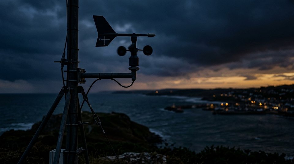
Cyclones spin anticlockwise north of the equator, so the wind where you stand depends on which side of the storm you are on.
- What an ensemble forecast is, and what it is not
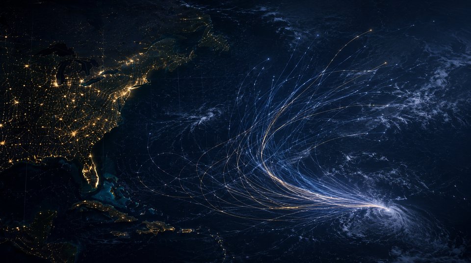
A spray of tracks is a statement about uncertainty, not a menu of outcomes.
 Hong Kong's typhoon signals, explained
 Why a storm to the south brings easterly winds
 What an ensemble forecast is, and what it is not